I am about halfway through photographing all of the stations on Metra right now. According to Wikipedia, there are 242 stations in the system, with two additional ones under construction. According to Flickr, I have photographed 120 of them so far (as of the time I write this there are three stations where I have the photos but haven’t uploaded them). My definition of a station may slightly differ from Wikipedia’s (for example I am counting Prairie Crossing on the North Central Service and Milwaukee District west as a single station), but regardless this puts me at about halfway done.
It certainly has been an adventure trying to photograph all of these stations when I don’t have a car. I was able to photograph the entire L system in about 2.5 years (and most of it was in 1.5 years after I moved here), but Metra is going to take a lot longer. For the L, the stops are mostly relatively close together, all lines run every day, and the frequencies are pretty good. Thus I was usually able to knock out 5-10 stations in a single expedition, using a combination of walking and trains between stations. However Metra isn’t so easy. For one thing, three lines don’t even run on weekends at all (I work a standard Monday-Friday schedule), so for those lines I’m limited to going during the week or finding alternate means to get to the stations. Then for the lines that do run on weekends, they run pretty sparse schedules, once an hour at best. Making things harder, way out in the suburbs the stations are often several miles apart and in many cases there isn’t any sidewalk or pedestrian path to take between them, limiting my ability to walk between them.
Despite these challenges, I have been able to get the photos I have so far. I was lucky enough that last summer, the Heritage Corridor offered promotional Saturday service, allowing me to photograph all but one of the stations on there (and the remaining one appears to be walkable from Joliet on the Rock Island District). I was also able to get a ride with a friend to photograph all of the stations on the SouthWest Service. The North Central Service will be more of a challenge, with so far only Antioch photographed (I took a day off work originally for another purpose but that ended up being cancelled, but since I still had the day off I took advantage of it being a sunny day).
For the other lines, I have used a combination of taking the train and walking long distances between stations where possible. For example there is a pedestrian trail between Ingleside and Fox Lake, allowing me to get those stations in one go. Also a lot of the stations closer to the city are in areas that do have sidewalks, allowing me to walk between them more easily (though it can still be a long walk).
Here are the tallies for each line, not counting the downtown terminus for each:
- BNSF: 8 out of 25 (32%)
- Heritage Corridor: 5 out of 6 (83%)
- Metra Electric: 33 out of 48 (69%, including all stations within the Chicago city limits and on the South Chicago and Blue Island branches)
- Milwaukee District/North: 6 out of 21 (29%)
- Milwaukee District/West: 6 out of 21 (29%)
- North Central Service: 2 out of 17 (12%)
- Rock Island District: 15 out of 25 (60%, including all stations on the Beverly Branch)
- SouthWest Service: 12 out of 12 (100%)
- Union Pacific/North: 16 out of 26 (62%)
- Union Pacific/West: 9 out of 22 (41%)
- Union Pacific/West: 7 out of 18 (39%)
I have a lot more work to do for sure, but I’m getting there. I’ve got one line fully complete, only one station left on the Heritage Corridor, and four lines above halfway done. I also have photographed all of the stations on the South Shore Line, but will need to go back out there once Double Track is done to photograph the newer stations, and also once West Lake opens. Some of the stations are in Chicago city limits or inner suburbs and will allow me to walk between them, but some will require a combination of taking trains and walking. I’m not sure how I’ll get the stations on the North Central Service, but I’m sure I’ll make it work.
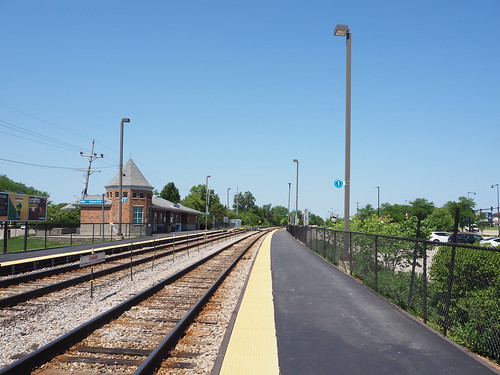
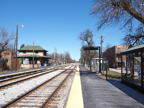
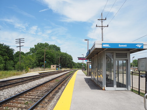
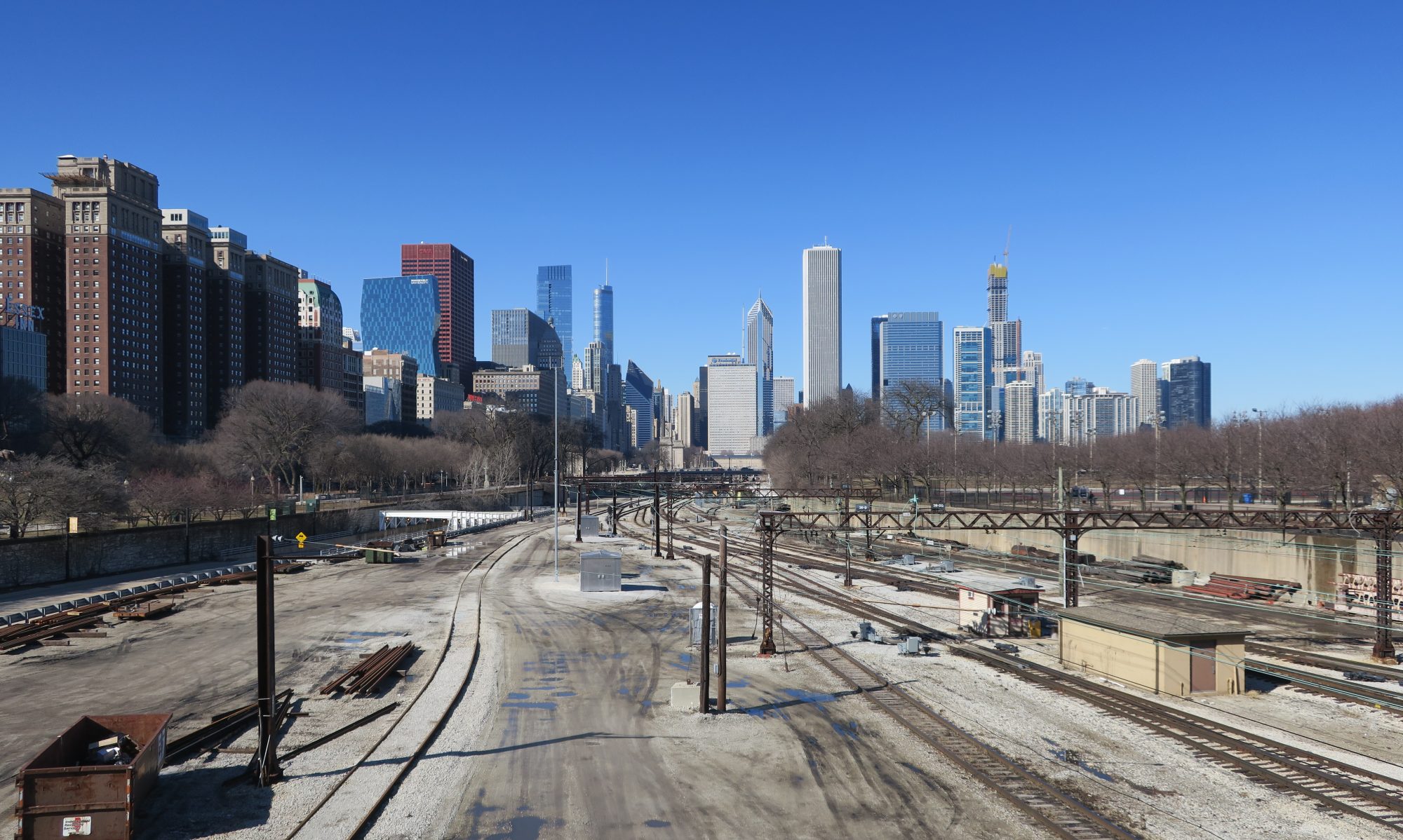
Here are a few photos I’ve gotten so far: