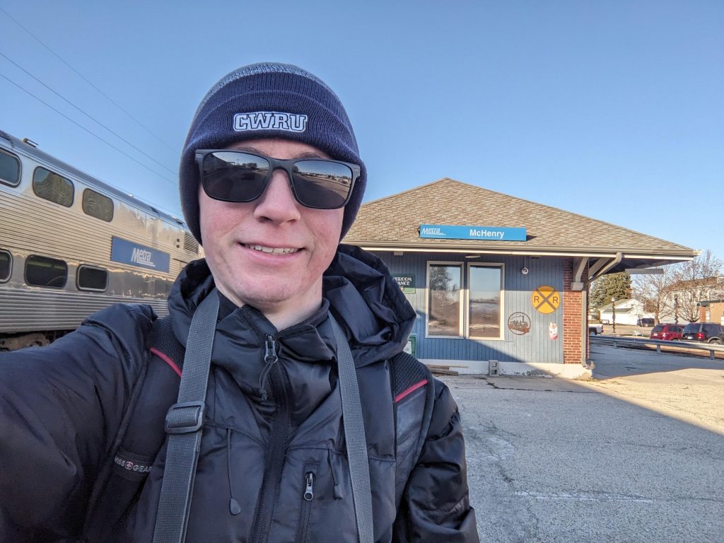
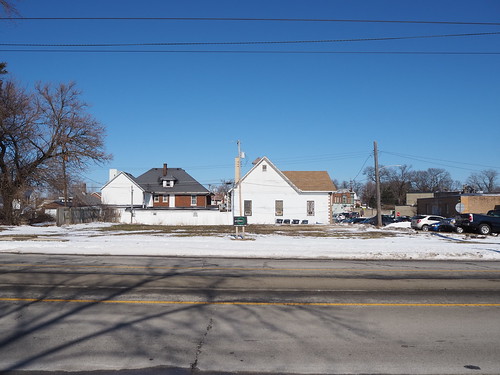
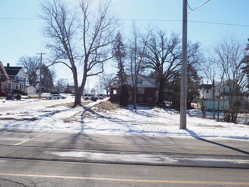
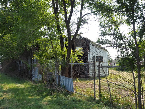
After just under six years, I have photographed all 243 stations on the Metra system, finishing off with McHenry. Anyone interested in seeing the photos can find them on this site.

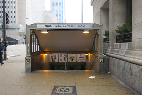
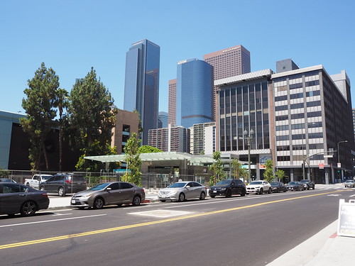
On March 12, 2019, I unknowingly started what would end up being a nearly six year long project. As part of a spring break trip to Chicago, I took a picture of Millennium Station on the way to visit the Museum of Science and Industry. I also took pictures of a few other stations on the Metra Electric District and Union Station on that trip. I didn’t at the time intend for this to be part of any sort of project, just a one-off railfan photo set.

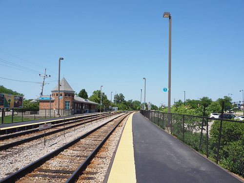
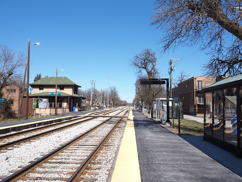
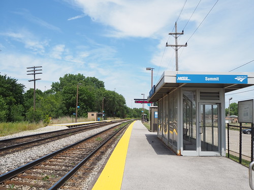
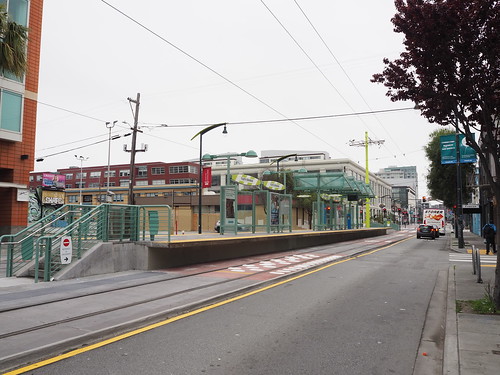
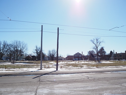
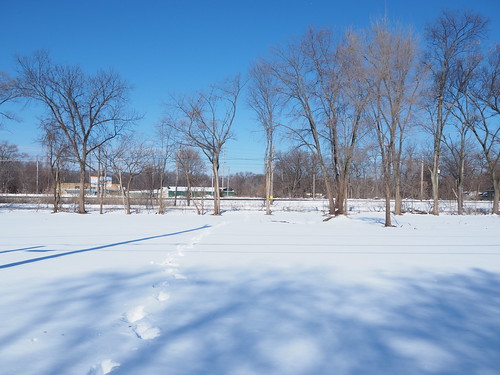
After that trip I had a very strong desire to move Chicago, and a year later I would realize that desire after getting a job here. My original railfan ambitions were just to photograph all the L stations, but once I finished that in 2021, I set my sights a bit higher and decided to photograph all the Metra stations. It was certainly a much bigger challenge, since Metra runs a lot less frequently than the L with stations much farther apart and often lacking pedestrian infrastructure. Making it even more challenging is that not all of the stations have weekend service (I work Monday-Friday), so I had to devise some interesting ways to get to those stations.
Even for the stations with weekend service, getting to them was not always easy. I spent a lot of time waiting at stations for trains only running every one or two hours, walked many miles on suburban roads and trails between far-apart stations, picked up many diet cokes and chocolate milks at convenience stores near stations, and ate many meals at restaurants throughout the suburbs. Now, for some highlights:
Rails, Trails, and Ales
The Heritage Corridor doesn’t normally run on weekends, but the past few summers or falls, they have run promotional Saturday service to provide access to the natural areas near the line. I took advantage of this service to photograph the stations along the line, taking a few separate rides and walking long distances on the suburban streets, and riding a few Pace bus routes.

Rental car for the North Central Service
To visit the stations on the North Central Service, other than one time I had a day off work and rode out to Antioch, I rented a car to get to the various stations. I photographed every station from Prospect Heights to Lake Villa in one very long day trip with a rental car I picked up at O’Hare, and then also photographed a few stations on the Milwaukee District/North Line along the way.

SouthWest Service
For the SouthWest Service, a fellow railfan with a car expressed interest in joining me for a day of Metra photography, so we went to all 12 stations from Wrightwood to Manhattan in one afternoon.

Station (re)openings
I was also able to attend the opening celebrations of a few stations along the way. Peterson/Ridge was the big one, being a new infill station along the Union Pacific/North Line to provide service to the western part of Edgewater.

I also was able to attend the opening celebration at 147th Street/Sibley Boulevard on the Metra Electric District in Harvey. The station was completely rebuilt over the course of two years. While the station had reopened earlier in the week, I was there for the opening celebration.

Other random highlights
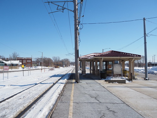
27th Street: unpleasant street access
27th Street definitely wins the award for worst entrance. I don’t normally do videos, but the entrance was so ridiculous that I needed to take a video to show just how obnoxious it was to get from the street to the platform.
2023 Canadian wildfires
I also had an interesting experience photographing a few Union Pacific/North Line stations during the 2023 Canadian wildfires. The smoke in the air certainly gave a unique effect. Notice that there are still clear shadows and bright colors, but the sky is a dull gray.

O’Hare Transfer: a missed opportunity
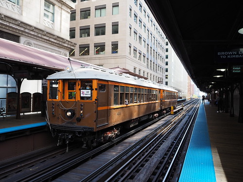
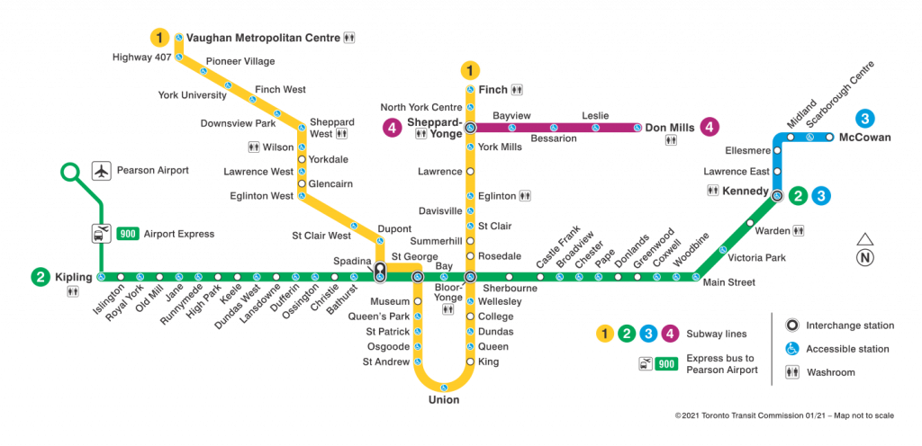
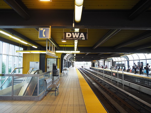
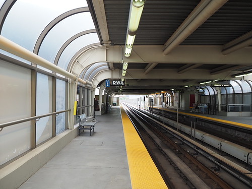
O’Hare Transfer seems like a major missed opportunity. It’s right next to an extremely busy airport, but the service is very infrequent and the connectivity to the airport really isn’t great. First you have to take the ATS out to the parking garage, and then walk outside a decent way to get to the Metra platforms. If they could find a way to improve connectivity and run much more frequent service, maybe something similar to the Union Pearson Express in Toronto, that would make Metra a much more attractive option to get downtown. Currently, if you factor in the time on the ATS and how long you’ll spend waiting for a train, the Blue Line is almost always the superior option.

CPKC Final Spike Tour
In May 2024, CPKC brought out their steam locomotive as part of a tour. The Chicago leg of the tour was at the Franklin Park station, so I headed out there with a few friends to go see it.

Looking forward
There is more Metra to photograph going forwards. Pretty soon, the Auburn Park station will open, and in a few years we will hopefully see three new stations on the Milwaukee District/West on the Rockford extension. We also will see a few new stations on the South Shore Line this year as part of the West Lake Corridor. In addition to all that, there are a number of ongoing and planned station rebuilds and renovations, so I’ll be out to photograph those as they finish and time permits.


